Lower Hood Canal Backroads Tour – 5.12.2007

I’ve traveled along Hood Canal before, though only along Highway 106 and Highway 101. Looking across Hood Canal to the Kitsap Peninsula from the South or West, the other side of Hood Canal seemed a little less developed (as far as waterfront houses are concerned). Also, looking at a map of the area, there were primitive roads that appeared to follow the shoreline. This all added to a day of exploring the lower Hood Canal side of the lower Kitsap Peninsula.

We started our tour at the end of Hood Canal in Belfair, Washington (the last service along the way). From Highway 3, we followed the signs for Highway 300 West (also known as North Shore Road). Once we left Belfair, we started seeing the wetlands where the Union River empties into Hood Canal.
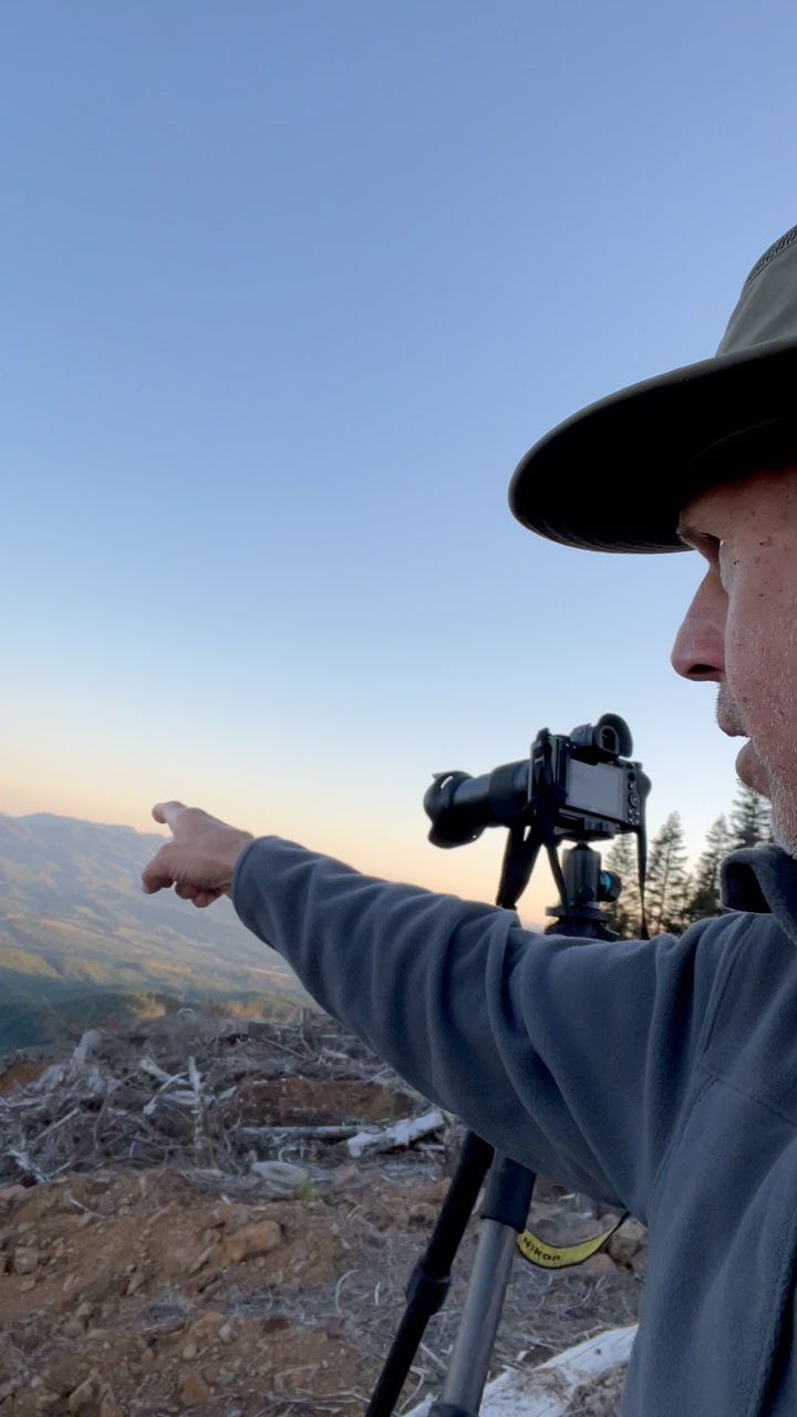
At approximately 3 miles from Belfair is the Belfair State Park, our first stop to let the dog out and stretch our legs. The time we arrived coincided with the low tide, which allowed some great beach roaming time. It also allowed me time to start trying to learn how to use my new Nikon D80 camera.

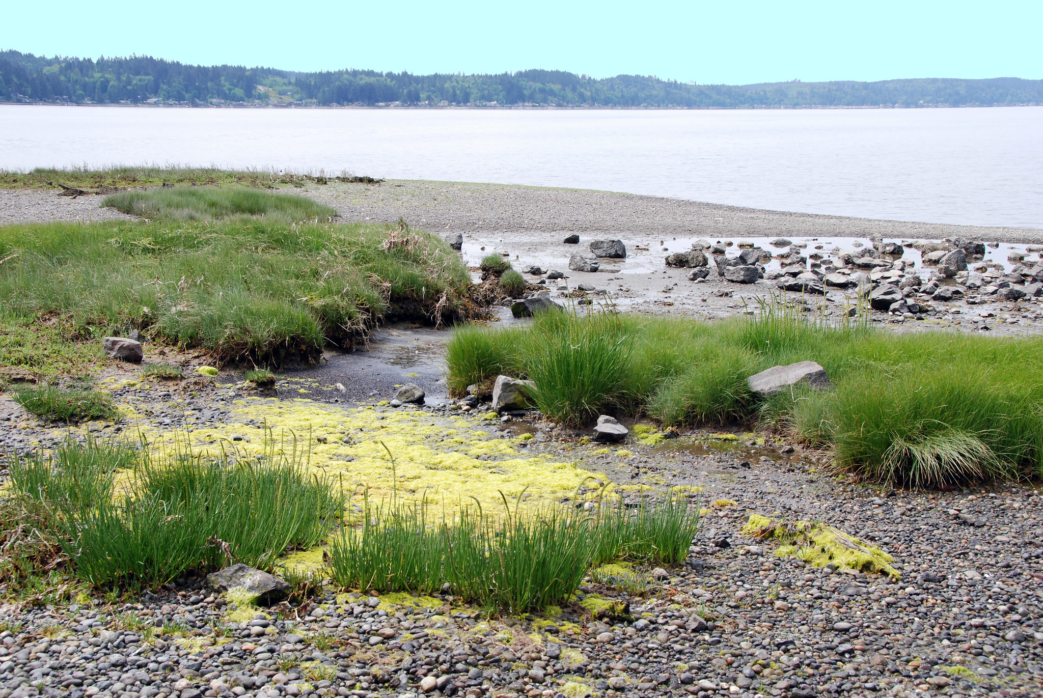
The scenic North Shore Road follows the waterfront for approximately 16 miles, passing through the community of Tahuya, Washington. About 19 miles from Belfair is Menard’s Landing County Park, where the Rendsland Creek empties into Hood Canal. Although small, this park is another excellent place to wander around the shoreline. Besides the magnificent views of Hood Canal, there are views of the snow-capped Olympic Mountains (on a clear day, of course). Amenities at the park include a small boat launch for hand-carried boats (canoe, kayak, raft), a covered gazebo, picnic areas, and the all-important portable bathroom.

Immediately after Menard’s Landing, the road narrows to almost a one-lane lane as it climbs from the shoreline onto the bluffs above Hood Canal. After approximately one mile, the way turns to gravel and continues to wind around the cliffs of the East shore of Hood Canal. This section of road is primarily through the forest with intermittent views of Hood Canal and the Olympic Mountains.
After about six miles of gravel road, we reached the paved road and NE Dewatto Rd, where we took a left toward Hood Canal. A short distance is Dewatto-Holly Road. We took a left toward Dewatto.
Dewatto, Washington, is a small community of homes, most not visible from the short road that leads to the area. At one time, the area had a store, a post office, and a school, none of which exists today.

The community also has a port district known as the Port of Dewatto (formed in 1927). The Port of Dewatto also maintains a boat launch and a public campground, our next stop along the way.
From the Dewatto area, we followed the Dewatto-Holly Road overland to the community of Holly, Washington. Holly is a remote, small waterfront residential community of approximately 60 homes with no commercial establishment or services.

After our quick visit to Holly, we turned around and followed the Seabeck-Holly Road to the Scenic Beach State Park, our next stop. Scenic Beach State Park is a relatively small beachfront park along Hood Canal. We found great views of Hood Canal, Dabob Bay (to the North), and the Toandos Peninsula (also to the North). There are views of the Olympic Mountains (only the foothills were visible when we visited because the clouds rolled in during the day).

At this point in the trip, it was already late afternoon, so after we visited Scenic Beach State Park, it was time to head home. We followed the Seabeck Highway through the community of Seabeck, Washington, and onto Bremerton to complete our tour of Hood Canal on the Kitsap Peninsula.
Additional photos from this trip can be found at Lower Hood Canal Tour.