Kapowsin-Ohop Valley Backroads – 6.24.2007

Anytime I’m traveling through Eatonville, Washington, to get back to my home in Edgewood, one of my favorite routes is to miss the infamous State Route (SR) 161 traffic through Graham and South Hill is to take the leisurely scenic drive on Orville Road East through the Ohop Valley, past Lake Kapowsin, and into the Puyallup Valley to Orting. My description of this route will be from the town of Eatonville heading towards Orting.
From the town of Eatonville, head North on SR 161 towards Puyallup. Immediately after leaving Eatonville, SR 161 drops into the Ohop Valley. Once you arrive at Orville Road, you’ll be turning right towards Ohop Lake. In about 0.5 miles, you’ll see Ohop Creek, which continues South past SR 161 and eventually flows into the Nisqually River. (If you get a chance, be sure to visit the Pioneer Farm Museum & Ohop Indian Village just off SR 161 north of Orville Road)

A little further down Orville Road, you’ll arrive at Ohop Lake. Ohop Lake is a long, relatively narrow lake that is about 2-1/4 miles long. There are cabins and homes along both shores. In about 0.7 miles, you will pass a Washington Department Fish and Wildlife (WDFW) boat launch on the South end of the lake.
Orville Road hugs the entire length of Ohop Lake on its western shore. At the northern end of the lake and a short distance beyond, Orville Road is the eastern boundary of Northwest Trek.
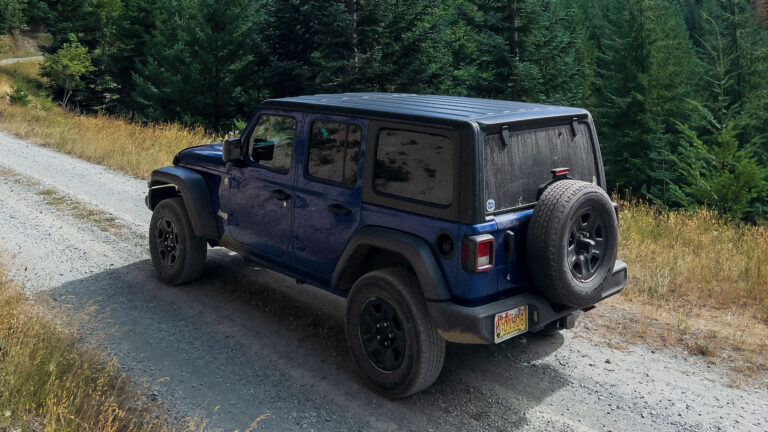
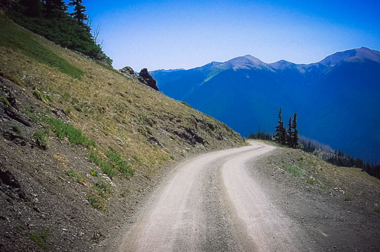
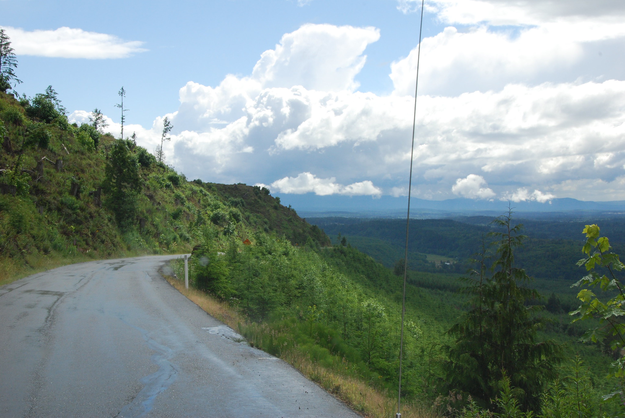
Once Orville Road leaves Ohop Lake, it opens to the Ohop Valley. According to historical references, many attempts to cultivate the Ohop Valley have been met with minimal success due to the boggy soil of the valley. Though not great for farming, it makes for a nice scenic drive. Throughout most of the Ohop Valley, Orville Road has no shoulder. A tire off the pavement could easily result in an unexpected off-road excursion.

The first road you come to pass Ohop Lake is Clay City Road. The most scenic aspect of this side road is the view as you cross the Ohop Valley and the railroad tracks from the opposite side of the valley. Beyond the railroad crossing, Clay City Road leads to a gate that closes off the location of the now closed Mutual Materials’ Clay City brick factory (I had a chance to do some wheeling in the area in the early eighties and the area soil consisted of red clay).
No Trespassing signs throughout the area discourage further adventures. At the gate to the old brick factory is also a junction with Sigmond Road, which dead ends at Surprise Valley – not worth the drive to the road’s end. From my memory from about twenty-five-plus years ago (it could be different now), there were three very secluded houses in Surprise Valley, one at each end and one in the middle (The only reason I know this is because my cousin rented one of the houses with a few other guys back then).

Once you’re back to Orville Road, you’ll begin to see the southern end of Lake Kawposin, about seven miles from SR 161. You’ll first see glimpses of the lake and the railroad tracks that parallel Orville Road. The railroad line you see (originally built by the Tacoma Eastern Railroad Company between the years of 1902 and 1910) runs from downtown Tacoma through Midland, Fredrickson, Graham, Thrift, Kapowsin, Eatonville, Elbe, eventually splitting, with one spur to National (near Mt. Rainier National Park) and the other spur to Mineral and then to Morton. On a side note, the Kosmos Timber Company (which originally logged much of the Morton and Randle areas) had a separate railroad line and transferred their log shipments to the Tacoma Eastern Railroad for shipment to Tacoma area mills.
My father told me there used to be a resort at the south end of Lake Kapowsin. My research can only find references to a Voss Resort on maps.
Orville Road temporarily leaves Lake Kapowsin and reaches a four-way stop in the community of Kapowsin. If you turn left here, you will go back to SR 161. If you head straight, it will lead you directly into Orting. Take a right to continue to follow Orville Road. You will pass over a bridge that crosses the old Tacoma Eastern Railroad railroad tracks, and then Orville Road brings you past a recently renovated WDFW boat launch on Lake Kawposin.
The only other developments on Lake Kapowsin are a resort (Erickson Boat Rentals – located just past the public boat launch) and a private resort on the opposite side of the lake owned by Hancock Forest Management (according to the signs).

Next to the boat launch used to be an old sawmill. The timber company also used Lake Kapowsin as a log storage pond, resulting in many partially submerged logs and floating debris along the shoreline (resulting in great fish habitat). I understand that some of the logs were salvaged a few years back. There is evidence of old docks (by the presence of pilings in the water) in several places on the lake. Again, I could not find much information on the Internet regarding the mill.
As a child and teenager, the area of the current boat launch used to be a campground and boat launch owned by the St. Regis timber company (it has since changed ownership several times). Before its recent renovation, I remember it as a rough boat launch. I spent many days fishing and camping on the lake. A favorite area for us to camp was to cross the lake and camp on the island immediately across from the boat launch.

After the boat launch, you’ll drive past Erickson Boat Rentals, and then you’ll see the end of the lake. This lake’s end has many floating logs that create a marsh-like appearance and an ideal fish and wildlife habitat. Once you drive past the end of Lake Kapowsin, the next road to the right is Camp One Road.
According to geologic resources, Lake Kapowsin was formed by the Electron Mudflow (a lahar that occurred 500-600 years ago from Mt. Rainier), which formed a dam in the valley and thereby formed the lake. The area where Camp One Road begins is where the mud flow dammed up the valley to create the lake.

Once you round the end of Lake Kapowsin, Camp One Road begins to climb. You’ll pass the access road to the Kapowsin Timberlands, managed by Hancock Forest Management. To my knowledge, access to their timberland is restricted. From the little information I could obtain, access is allowed (by purchasing a permit) to hunt in the area if you are lucky enough to draw a special hunt tag. This access road also leads to a private lakeside park owned by the timber company. Just past this access road, you will pass a rock quarry on the left.
The road continues to climb out of the valley, and eventually, you get some nice views of Lake Kapowsin and beyond. At about 6 miles from Orville Road, you come to a junction in the road. The road to the left is the Electron Reservoir Road which dead-ends 1.5 miles from the junction at a Puget Sound Energy (PSE) access gate and offers no views.

The road to the right of this junction is Elkhorn Boulevard East. It deadends about three miles from the Camp One Road junction in the small community of Ohop. A few private residences line both sides of the road where it ends. From the community of Ohop, you can see the main haul line of the timber company that accesses the Puyallup River drainage up to the boundary of Mt. Rainier National Park.
I couldn’t locate much historical information about the community of Ohop (at least on the Internet). I guess that it was housing for the area’s past logging activity.

Once back to Orville Road, if you travel 0.2 miles toward Orting, you’ll reach Electron Road East. Follow this road for about a mile, where it dead ends at Electron. It’s a PSE facility with a park, with picnic tables, and a minimal view of the Electron Powerplant in the Puyallup River canyon below.
From Electron Road, you continue to follow the Puyallup River valley (with the occasional view of the river) down to SR 162 and into Orting, Washington.
For further exploration, you can travel south on SR 162 towards South Prairie, Wilkeson, and Carbonado, but I’ll have to save that for another time.
See more photos of the Kapowsin-Ohop Valley Backroads at Kapowsin-Ohop Valley Backroads Photos.