Deer Park Road, Olympic National Park, Washington, 2006
After getting my Jeep back together, I wanted to take a multi-day camping/road trip. I wanted to see how my newly built cargo box would work and experiment with stowing camping gear for a 3-day mini-expedition plus a dog.
My goals for this trip weren’t to go wheeling, especially since I was traveling solo. I wanted to hit the back roads and travel as much gravel and/or primitive roads as possible, carrying all my supplies, stopping only for fuel as needed (since I don’t have a gas can carrier yet).
After looking through the book Washington Byways: Backcountry Drives For The Whole Family, I decided to drive an Olympic Peninsula route. The book lists several routes that could be connected with no backtracking. Perfect for a loop around the peninsula.
Day One.
Road 27, Olympic National Forest, Washington, 2006
After finalizing everything for the trip, I was off (much later than desired). From my home near Puyallup, Washington, I headed west towards the Olympic Peninsula via Hood Canal.
Near Key Center, I passed a Renaissance Fair and saw a guy dressed like Peter Pan directing traffic. No visible wenches to report.
I also found out that when a dog sits behind you in the cargo area of a Jeep, dog slobber tends to float forward in strings and land on everything in the passenger area, including me, the windshield, etc.
Once I got to Quilcene, I made several stops to purchase a Forest Service map. Unfortunately, none of the local stores carry them, and I missed the closing time of the ranger station by fifteen minutes. I fueled up, backtracked a mile to Penney Creek Road, and headed off into the hills with only a guidebook.
(NOTE: I don’t list any distances because my speedometer is off by a good 10 percent or more, and I don’t have a GPS)
Road 27 Campsite, Olympic National Forest, Washington, 2006
The first leg of my journey (Tour 5 in the book Washington Byways) was to take Olympic National Forest Rd. 27 up and over Bon Jon Pass and down to Sequim via FS Rd. 28.
Most of the way up FS 27 was a typical single-lane, winding mountain road with turnouts. I had to watch out for the hikers hurrying back to civilization on a Sunday night. It’s funny how people don’t realize the potential for a collision with other vehicles on blind corners (not to mention cliffs).
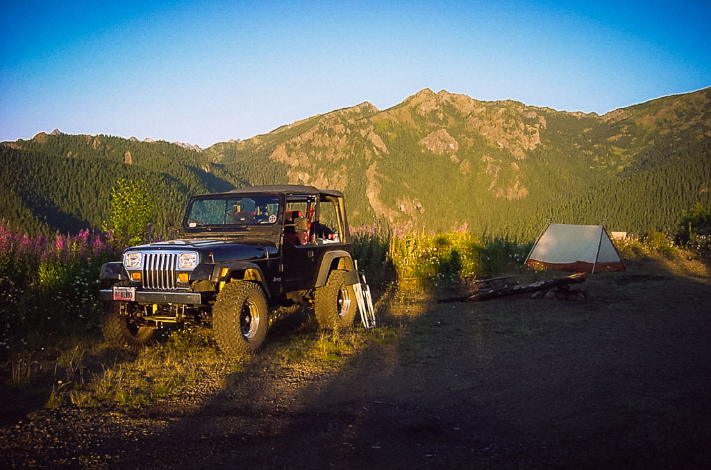
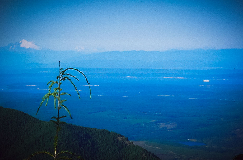
Before reaching Bon Jon Pass’s summit, I had approximately two hours to dark, so I started looking for a camping spot. I spotted a hilltop that was clear-cut to the summit. I found the double track (the road wasn’t marked, but I believe it was FS Rd. 212) that led to a landing near the top. This site provided a perfect place to camp for the night with awesome views. I could see Mt. Baker, the North Cascades, the San Juan Islands, and Mt. Rainier from the campsite.
Rd 27, Quilcene Range Olympic National Forest , WA, 2006
By the time I had a few beers, set up camp, and finished with dinner, night had fallen. Luckily a slight breeze started blowing, and the mosquitoes disappeared.
At night, the moon was full, nearly full. The moon provided excellent visibility, with no need for a lantern. The hills and mountains were well-lit up. The city lights of the Puget Sound lowlands were quite visible from Bellingham to Tacoma.
Later that night, the wind picked up and blew quite steadily for several hours. The flapping of the tent made the dog a little nervous. Luckily, the winds passed, and it remained calm the rest of the night.
Day Two.
Olympic Mountains, Washington, 2006
The next morning, I awoke to clear blue skies and surprisingly warm temperatures. First, I took the dog for a short walk down the end of the road and snapped a few photos.
Just off the road, I noticed a bird flopping around like it was injured (to divert me from its nest). So what do I do? I look for the nest. I found two small birds huddled down motionless in their nest.
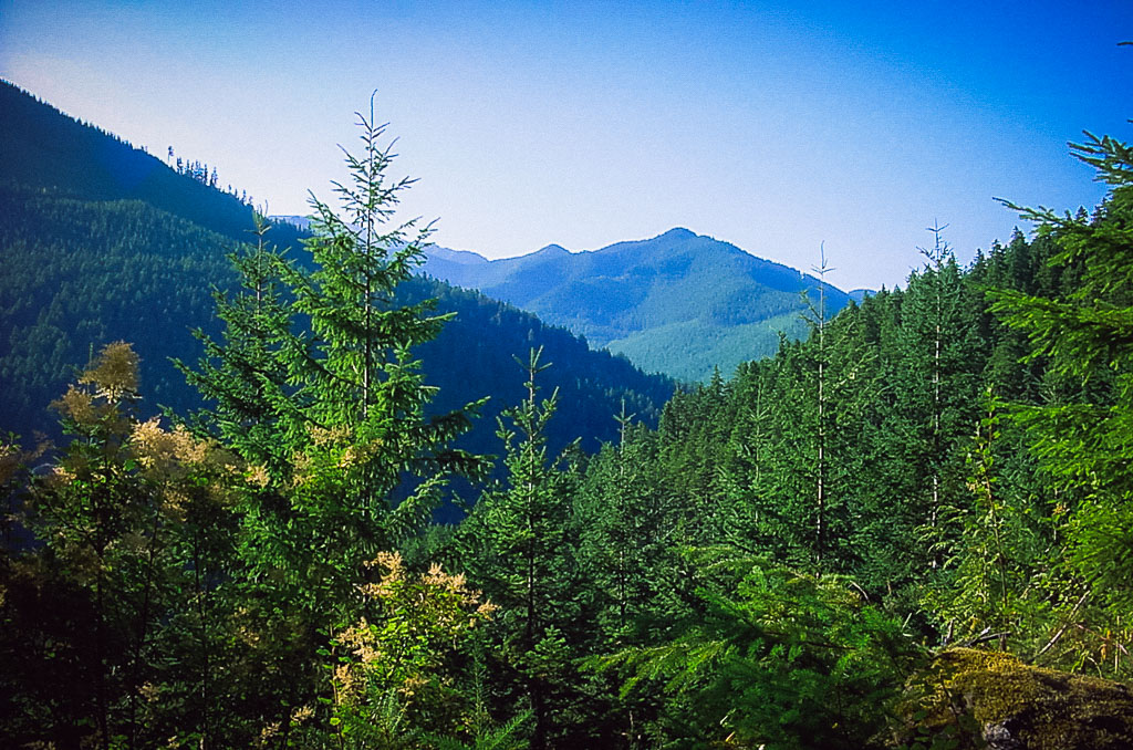
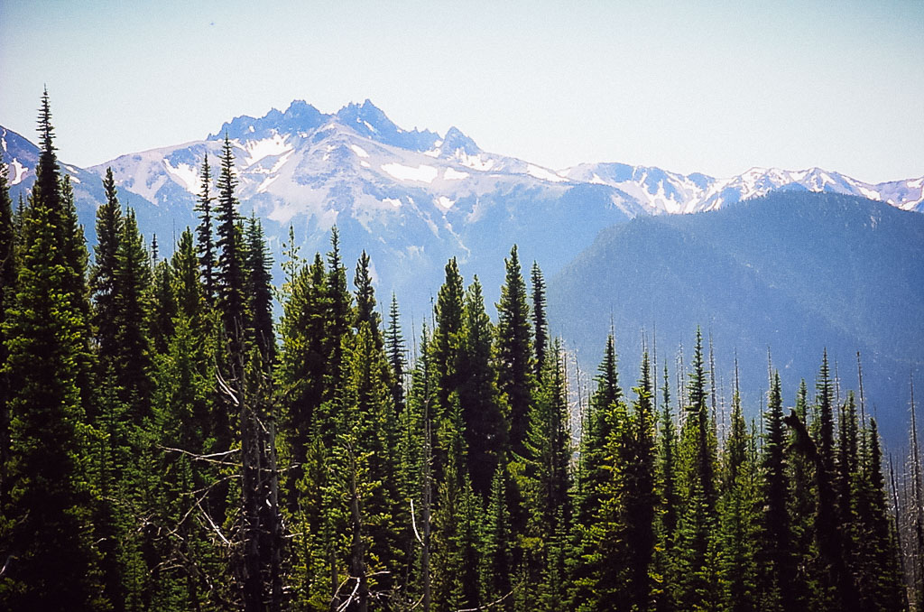
After breakfast and packing up camp, I was on the road again. Up and over Bon Jon Pass and FS Rd. 27 links up with FS Rd. 28. FS 28 slowly winds down with occasional views of the Olympic Mountains, then connects with Highway 101 near Sequim. According to the guidebook, this route is approximately 40 miles one way.
Kloshe Nanitch Lookout, Washington, 2006
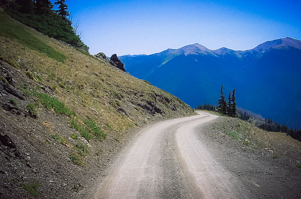
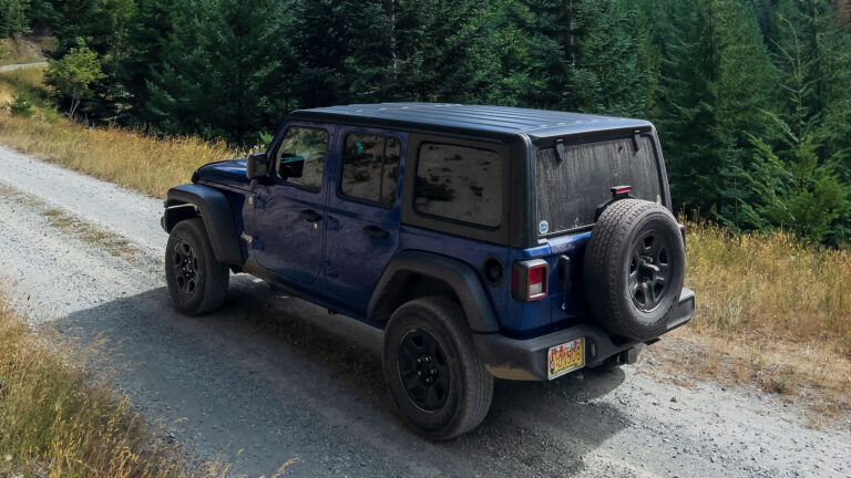
Once back on the highway, I headed west toward Port Angeles. Before reaching the town, I headed south on Deer Park Road (Washington Byways Tour 3). The road steadily climbs, first on the pavement, then turning to gravel upon entering the Olympic National Park. The further up the road climbs, the better the views become. The road ends at a trailhead at the base of Blue Mountain with excellent views of the Olympic Mountains, Port Angeles lowlands, the Straight of Juan de Fuca, and Vancouver Island.
From Highway 101, there is no sign mentioning the Olympic National Park. Because of this, there is probably a lot less traffic to this point than to Hurricane Ridge.
Once again, after photos and a brief break from driving, it was time to head back to Highway 101. The out and back from Highway 101 are approximately 34 miles.
After fueling up in Port Angeles (the Safeway had the best fuel price in town), I headed west on Highway 101, then west on Highway 112 towards Joyce. I had to wait 30 minutes for a repaving project.
Klahowya Campground, Washington, 2006
Once past the Lyre River, I started looking for the East Twin River Road (FS Rd. 3040). I took a left (south) and started climbing steadily for approximately 16 miles (according to the guidebook), with occasional views of the Straight and Vancouver Island. The guidebook lists an alternate side trip to Pyramid Mountain, which I didn’t take.
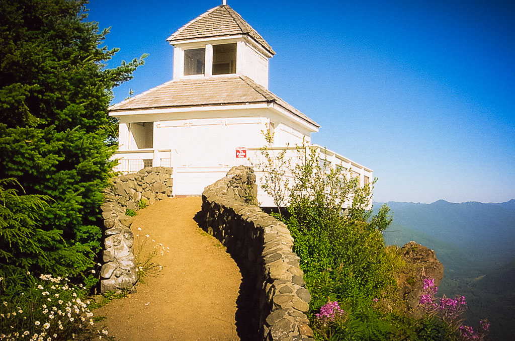
Once I reached the ridge top, I followed the signs to the Kloshe Nanitch lookout. According to the guidebook, this is a replica of a lookout that was located nearby. There is a balcony that offers excellent views of the Sol Duc River valley below and the Olympic Mountains. After more pictures, I headed down the steep, winding road to Highway 101.
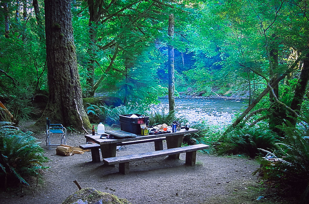
Once back on the highway, I headed east a short distance and found a campsite at the Klahowya Campground. Since it was a Monday, I had my choice of campsites, so I found one on the Sol Duc River. I set up camp and settled in for the night. Since it was a designated campground that evening, I could have a legal campfire.
Day Three.
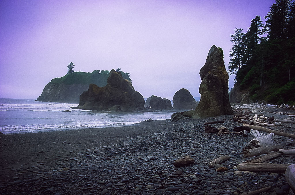
Ruby Beach, Washington, 2006
I woke up to a cool, cloudy morning. I broke camp, headed west on Highway 101, and discovered it was raining. The campsite in the trees kept me dry all night. Since it was wet and only about 50-something degrees, with my upper doors and side curtains for my Jeep at home, I donned my raincoat for the next leg of the journey (good thing I came prepared for rain).
I stopped in Forks and got a warm coffee and fuel (be sure to top off here because the prices are outrageous between Forks and Aberdeen). I stopped at the ranger station in town and purchased a forest service map.
After Forks, I chose to do an inland route or follow Highway 101 to the coast. I decided on the coastal route because Washington State has some of the most beautiful coastlines, especially in Olympic National Park portions.
I made a brief stop at Ruby Beach for a short hike to the beach and some cool pictures.
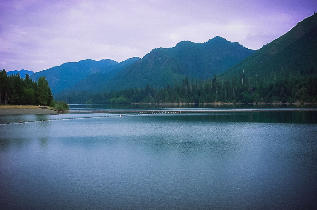
Wynoochee Lake, Washington, 2006
Back on the road again, I traveled south on Highway 101 past Lake Quinalt.
The next portion of my journey was located on the forest service map I purchased. The route I chose would take me from Highway 101 (near the coast) overland and meet up with Highway 101 (on the Hood Canal side).
I located Donkey Creed Road (FS Rd. 22) and headed east toward the Wynoochee Recreation area. The road starts as a paved two-lane and then narrows to a single lane with turnouts. About nine miles from the highway, it turns to gravel and winds through clear cuts and replanted forests. Watch out for logging truck traffic in this area.
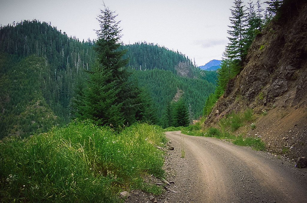
Forest Road 23, Olympic National Forest, Washington, 2006
At about 22 miles from Highway 101, I reached the Wynoochee Dam. There is a good viewing area of the dam. There are several campgrounds and Wynoochee Lake if you want to spend some time here.
Just past the dam turnoff, at the junction for the town Montesano (where most of the log truck traffic follows), I stayed to the left, and then I took an immediate right on FS Rd. 23. At the next junction, I followed the signs to Spider Lake (FS Rd. 23).
On the way to Spider Lake, the road climbs and descends through several drainages and saddles. At about 16 miles from the dam is Spider Lake. I briefly saw the lake through the trees but couldn’t locate the access. There were no signs in the area that noted the location of the lake. I found some cool camp spots that require a 4×4 to get through. I assume there must be a trail that leads to the lake.
After a few miles past Spider Lake, the road widens to two lanes and combines gravel and pavement. Finally, FS Rd. 23 ends at the Skokomish Valley Road and follows the river valley through farmland back to Highway 101 (about 20 miles from Spider Lake), where it was back home via the highways.
Summary.
It would be easy to spend a week touring the Olympic Peninsula. A tour could include many side roads and attractions, even more, if you included some hiking in your itinerary.
I would have liked to visit Hurricane Ridge/Obstruction Point and Cape Flattery.
I might have chosen some alternative routes if I had properly prepared and had an Olympic National Forest map that listed the forest service roads and numbers.
After reviewing the forest service map, I noted some possible routes to include in an extended expedition to the Olympic Peninsula.
1. From Highway 101 (near Hood Canal) follow signs to Lake Cushman. From the lake, forest service roads lead to the Hamma Hamma River (FS Rd 25) and back to Highway 101.
2. It appears that from the Bon Jon Pass Road (see days one and two), I may have been able to follow forest service roads and exit Highway 101 west of Sequim.
3. From Highway 101, just west of Lake Crescent, you can drive from the Sol Duc Hot Springs Road to Forks by linking up with FS Rd. 29.
4. From Highway 112, there are several possible routes to take to Ozette Lake, including one from Neah Bay (unknown if open because it’s on the Makah Indian Reservation) and one that follows the Sekiu River. From Ozette Lake, it appears that one can travel south to near La Push, and then to the Hoh River, then back to Highway 101.
5. From Highway 101 (coastal section south of Forks), follow the signs to the Olympic Corrections Center, then back to Highway 101. This bypasses the coast portion of Highway 101.
All the listed routes can be done in a two-wheel drive vehicle with reasonable clearance. Of course, I can’t attest to the road conditions of the other possible routes.
If you have traveled or know the condition of these other routes, post up in the comments sections.
With an actual weekend off, and knowing that I would probably soon be selling my Jeep Wrangler to buy a larger adventure vehicle, it was time for a three-day Jeep adventure. Our first goal (my son Steven and myself) was to travel from I-90 near Cle Elum, Washington, to Highway 410 near Cliffdell, Washington, via…
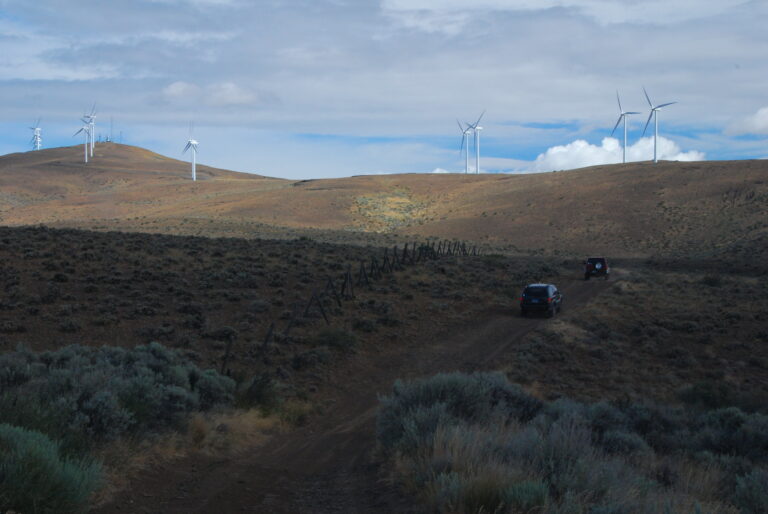
After a night of camping along the Yakima River, my daughter and I got up early, broke camp, and headed to Ellensburg, Washington, to meet up with the Northwest Backroad Drivers group to explore the Whiskey Dick Wildlife Area just east of Ellensburg. After a stop for a quad iced americano and to top off…
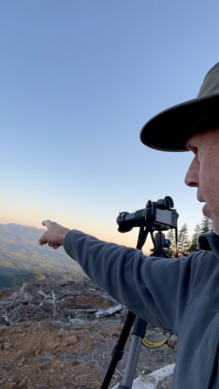
Preparing to Photograph the Sturgeon Supermoon from Walville Peak, Washington I’m all about spontaneous adventures and exploring the Pacific Northwest outdoors. When I head out to photograph, I like to keep things open and flexible. Sticking to just one subject can lead to disappointment if things go differently than planned due to light, weather, or…
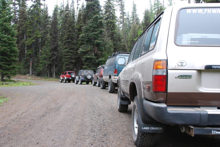
After nearly a year of lurking on the Backroad Drivers Northwest group mail list last Saturday (June 9, 2007), I was finally able to attend one of the organized gatherings of the group. The planned destination was the Clover Springs and Little Bald Mountain areas off SR 410, near Cliffdell, Washington. I had been to…
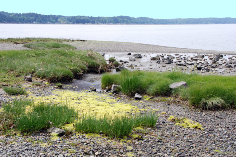
I’ve traveled along Hood Canal before, though only along Highway 106 and Highway 101. Looking across Hood Canal to the Kitsap Peninsula from the South or West, the other side of Hood Canal seemed a little less developed (as far as waterfront houses are concerned). Also, looking at a map of the area, there were primitive roads…
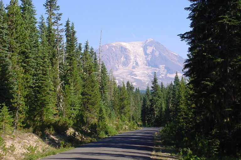
One of my favorite regions in Washington state is the Gifford Pinchot National Forest. Once the snow melts in late spring, I make several trips to the area throughout the summer and fall.